Spring in DC: Cherry Blossoms, Unpredictable Temperatures, and Severe Storm Risks
As the District's famous cherry blossoms prepare to bloom, residents should brace for a spring season marked by wild temperature swings and the threat of severe storms. Plan your outdoor activities with flexibility and keep an eye on the forecast—conditions can shift rapidly this time of year.
Spring in Washington brings both beauty and unpredictability. The cherry blossoms that draw visitors from around the world are tied to warming trends, but that warming doesn't follow a straight path. Cold snaps can arrive just as buds are opening, and the transition from winter to summer often brings atmospheric instability that fuels thunderstorm development. For residents and commuters, that means dressing in layers, staying weather-aware, and understanding how March and April can feel like two entirely different seasons.
The Cherry Blossom Season and Temperature Swings
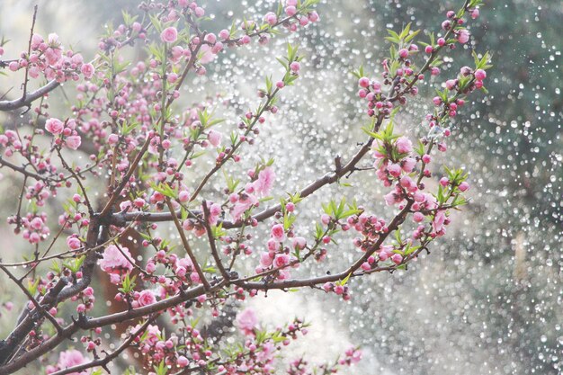
The timing of the cherry blossoms depends on accumulated warmth through early spring. Warmer stretches trigger the bloom cycle, but DC's spring climate rarely cooperates with a steady warm-up. Instead, the region experiences several false starts—days warm enough to coax blossoms to the surface, followed by cooler periods that can stress or damage the trees.
Residents accustomed to mild late-March weather may find themselves shoveling snow or pulling out winter coats a week later. This volatility is typical for the region's latitude and position along the Atlantic seaboard, where cold air masses and warm maritime influences compete for control. The cherry trees, some of which have been in the Tidal Basin for more than a century, have adapted to this rhythm, but that doesn't make the swings any less dramatic for people trying to plan picnics or outdoor events.
Severe Weather Arrives with Spring
As the season progresses, the atmospheric instability intensifies. Spring is a prime season for severe thunderstorm development across the Mid-Atlantic. Warm, moist air moving north from the Gulf of Mexico collides with lingering cool air aloft, creating the kinds of wind shear and instability that fuel organized storm systems.
These storms can develop quickly and produce damaging winds, hail, and heavy rain. Some systems move through in the afternoon; others arrive after dark. For DC residents, this means keeping a weather app handy during spring months and knowing where to take shelter if warnings are issued. Trees still recovering from winter or weakened by earlier temperature stress can be particularly vulnerable to wind damage.
Planning Around Unpredictability
The best strategy is to stay flexible. Early spring plans—whether outdoor work, gardening, or sightseeing around the monuments—should account for rapid changes. Forecasters typically issue updates several days in advance when organized severe weather is expected, but daily conditions can surprise.
Keep a battery-powered radio or a smartphone with a news app and weather alerts enabled. If you're planning to be outside during afternoon hours in spring, have a way to receive warnings. Windows and doors should be secure, and outdoor furniture and loose items should be brought inside before storm systems arrive.
For those planting gardens or landscaping, wait until after the most volatile period passes before setting out tender plants. The soil may warm up early, but a late cold snap can kill seedlings overnight. Similarly, tree trimming and yard work are best done after the severe weather season calms.
What to Expect This Spring
Forecasters expect the typical spring pattern to hold: a mix of pleasant days interspersed with periods of instability. Some days will feel summery; others will carry a winter chill. That's the DC spring experience. The cherry blossoms will still arrive, and the season will still be beautiful—just keep a jacket handy and an eye on the sky.